What’s New in sunpy 8.0?#
The SunPy Project is pleased to announce the 8.0 release of the sunpy core package.
On this page, you can read about some of the big changes in this release.
sunpy 8.0 also includes a large number of smaller improvements and bug fixes, which are described in the Full Changelog.
This release of sunpy contains 491 commits in 76 merged pull requests closing 64 issues from 19 people, 7 of which are first-time contributors to sunpy.
491 commits have been added since 7.1
64 issues have been closed since 7.1
76 pull requests have been merged since 7.1
19 people have contributed since 7.1
7 of which are new contributors
The people who have contributed to the code for this release are:
Alasdair Wilson
Albert Y. Shih
Aleksandr Burtovoi *
Clément Robert
Daragh M. Hollman *
David Stansby
Giovanna Jerse *
Herman le Roux *
Jonas Sinjan *
Kumar Amityush *
Laura Hayes
Manit Singh
Nabil Freij
Rahul Gopalakrishnan
Samuel Bennett
Shane Maloney
Stuart J. Mumford
Will Barnes
Yaocheng Chen *
Where a * indicates that this release contains their first contribution to sunpy.
Updates to minimum dependencies#
The minimum required versions of the following packages have been updated:
asdf >=3.3.0
asdf-astropy >=0.7.0
astropy >=7.0.0
contourpy >=1.3.0
dask >=2024.6.0
drms >=0.8.0
fsspec >=2024.9.0
glymur >=0.14.0.post1
h5netcdf >=1.4.0
h5py >=3.12.0
lxml >=5.3.0
matplotlib >=3.10.0
numpy >=2.0.0
packaging >=24.2
pandas >=2.3.0
parfive >=2.2.0
reproject >=0.14.0
requests >=2.33.0
scikit-image >=0.24.0
scipy >=1.14.0
spiceypy >=7.0.0
tqdm >=4.67.0
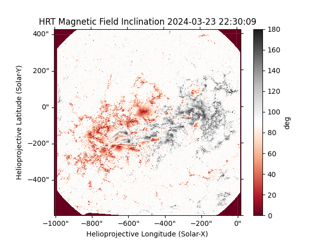
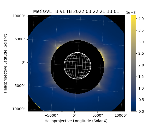
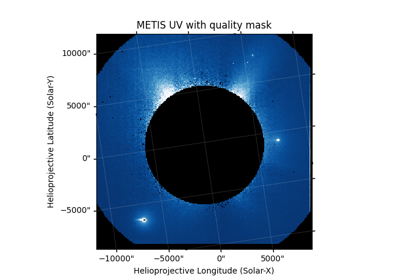
Added support for PHI and Metis Instruments on Solar Orbiter#
This release adds two new map sources for the Polarimetric and Helioseismic Imager (PHI) and Metis on the Solar Orbiter mission.
Merged Solar Orbiter Archive (SOAR) Fido support into sunpy#
The Fido client for the SOAR has been developed for a number of years in the sunpy_soar affiliated package.
As this has reached a suitable level of maturity, this has now been merged into sunpy.
The sunpy_soar package will now be deprecated, and SOAR support will be maintained within sunpy core going forward.
>>> import sunpy.net.attrs as a
>>> from sunpy.net import Fido

>>> instrument = a.Instrument("EUI")
>>> time = a.Time("2021-02-01", "2021-02-02")
>>> level = a.Level(1)
>>> product = a.soar.Product("EUI-FSI174-IMAGE")

>>> Fido.search(instrument & time & level & product)
<sunpy.net.fido_factory.UnifiedResponse object at ...>
Results from 1 Provider:

... Results from the SOARClient:

Instrument   Data product   Level        Start time               End time        Filesize SOOP Name Detector Wavelength
                                                                                   Mbyte
---------- ---------------- ----- ----------------------- ----------------------- -------- --------- -------- ----------
       EUI eui-fsi174-image    L1 2021-02-01 00:45:12.228 2021-02-01 00:45:22.228    3.393      none      FSI      174.0
...
       EUI eui-fsi174-image    L1 2021-02-01 23:45:12.242 2021-02-01 23:45:22.242    0.415      none      FSI      174.0
Examples of searching the SOAR#

Searching for Solar Orbiter data using Wavelength and Detector attributes


Searching for EPD/EPT data with the a.soar.Sensor attribute

Searching for Solar Orbiter data using Solar Distance attribute
New Examples in the Gallery#
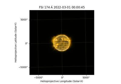
To coincide with the Solar Orbiter theme of the 8.0 a number of new examples using Solar Orbiter data have been added:
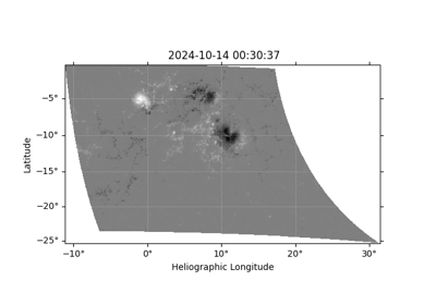
Downloading and Reprojecting a Solar Orbiter PHI/HRT Magnetogram

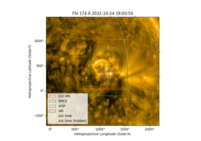
Plotting Fields of View of Solar Orbiter and DKIST
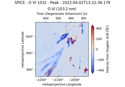
In addition to this some other examples have been added:


Saving SunPy Coordinates with Astropy Table#
It’s now possible to save the coordinate frames provided by sunpy to various file formats supported by Astropy Table
An Astropy Table object with a column which is a SkyCoord with frame defined in sunpy can be written to formats which support Mixin Columns, for example ECSV Format.
>>> import astropy.units as u
>>> from astropy.coordinates import SkyCoord
>>> from astropy.table import QTable
>>> import sunpy.coordinates

>>> coords = SkyCoord([1, 2, 3], [3, 2, 1], unit=u.arcsec, frame="helioprojective")
>>> table = QTable({"pos": coords})
>>> table
<QTable length=3>
     pos
arcsec,arcsec
   SkyCoord
-------------
      1.0,3.0
      2.0,2.0
      3.0,1.0

>>> table.write("my_coordinates.ecsv")